number of errors=3
number of warnings=0
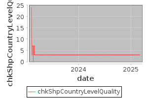
Group=chkGrpShp
select b.geonameid,st_npoints(maxgeometry),st_perimeter(maxgeometry)/ st_npoints(maxgeometry) as q,st_area(maxgeometry),g.countrycode,g.featurecode from geoname_bbox b,geoname g where b.geonameid=g.geonameid and b.featurecode like 'PCL%' and b.featurecode<>'PCLH' and st_perimeter(maxgeometry)/ st_npoints(maxgeometry)>0.003 and countrycode not in ('BV','KE','NU','SZ') order by 3 desc;
update country boundaries from better source as usgs
geonameid	st_npoints	q	st_area	countrycode	featurecode
102358	24258	0.004850722901872047	171.34968353664797	SA	PCLI
357994	19632	0.003507221267476359	89.23791231296539	EG	PCLI
2434508	18565	0.00318493414059601	107.12642027362874	TD	PCLI